Early Season at Berthoud off the Westside, not a ton of snow yet
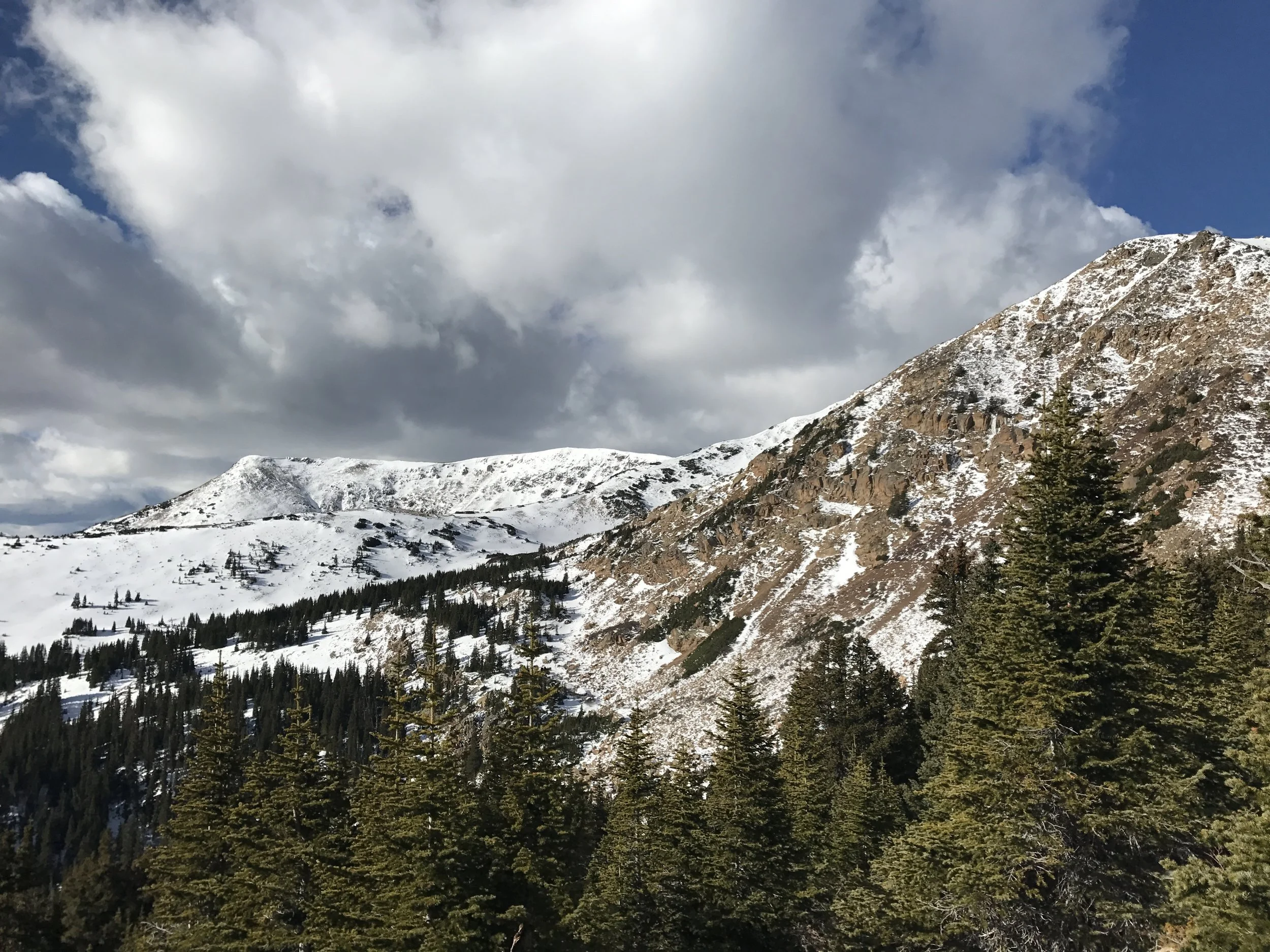
We wanted to get a little more info on the snow and coverage in the Berthoud zone, so I trekked off the west side of Berthoud Pass for an hour to inspect. The east, south and west slopes were good for hiking, finally found enough snow to be on skis in a few northern facing slopes.
Maybe the most helpful part of the day was turning on my Pieps Jetforce pack and realizing I hadn't charged it before the season started. When you turn on an uncharged pack it gives a tinny beep as a reminder that all you have on your back is a really expensive training weight.
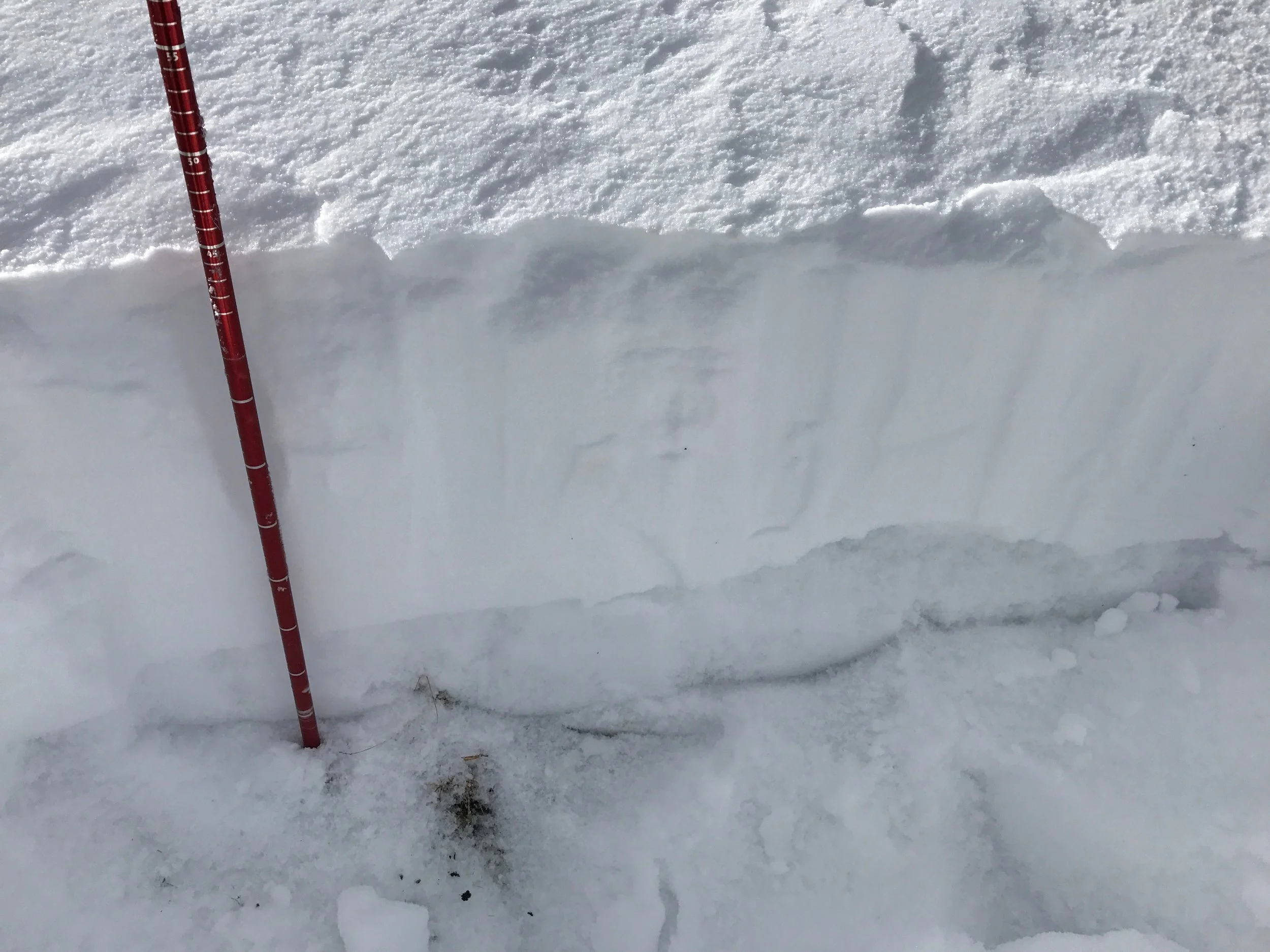
Remember those great early season snowfalls we had in September and early October? They've been hanging out and slowly turning into the weak snow we'll be talking about for the next few months.
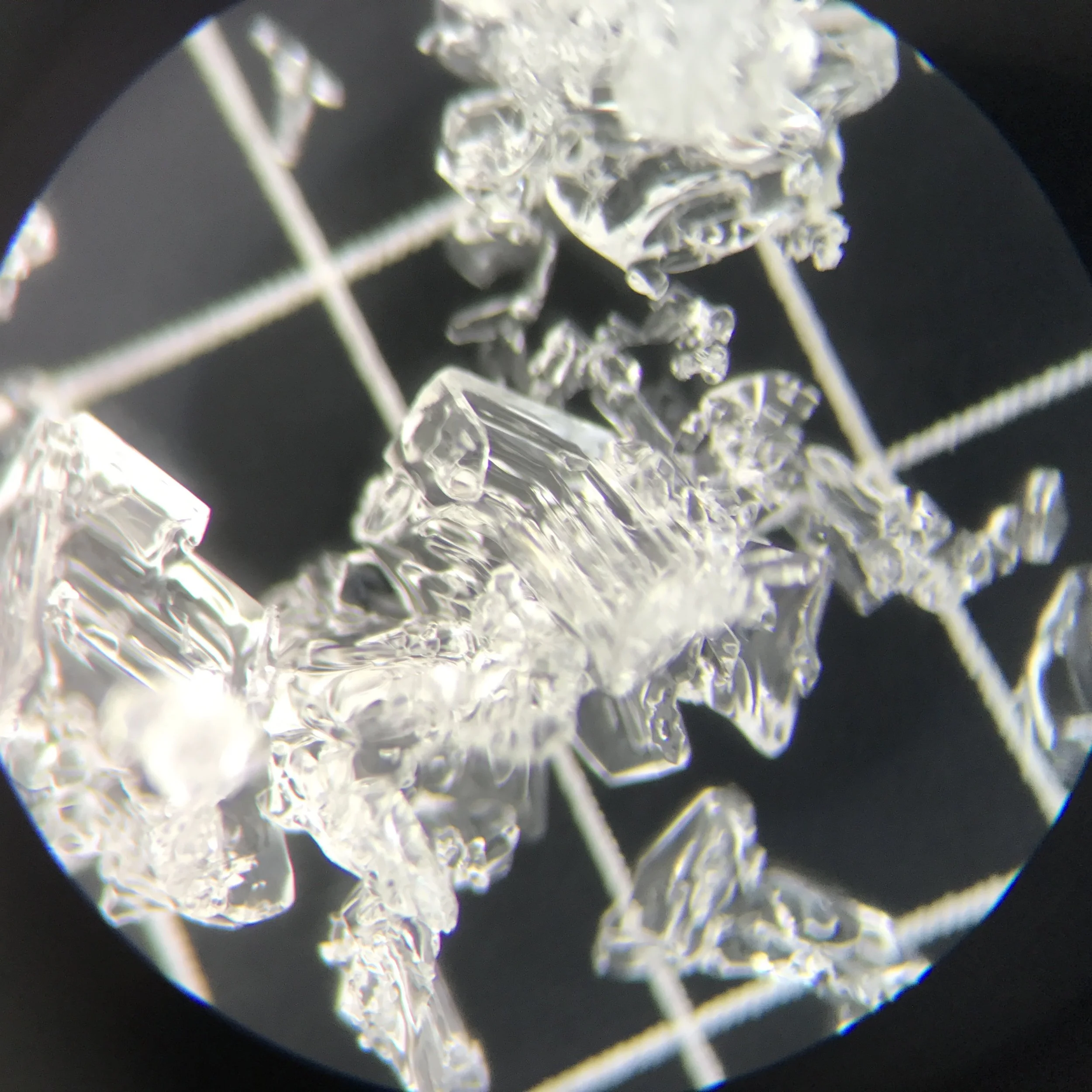
Under 10x magnification you can see that the faceting is going well, which is not completely unusual for November in the Rockies.
This snow will become the depth hoar in December that will cause a persistent slab problem. It's not unusual to see this in November, but what is unusual is to have a widespread ice layer on top of the fall snow. This exists in many zones of Northern Colorado where the snow hasn't melted out, and is driving faceting at a faster rate.
So we're heading towards a typical weak base for Northern Colorado, but you never know, maybe we'll get 4 feet of snow for Thanksgiving like 2006 and bury our worries as best we can. Hey, a guy can dream can't he?


