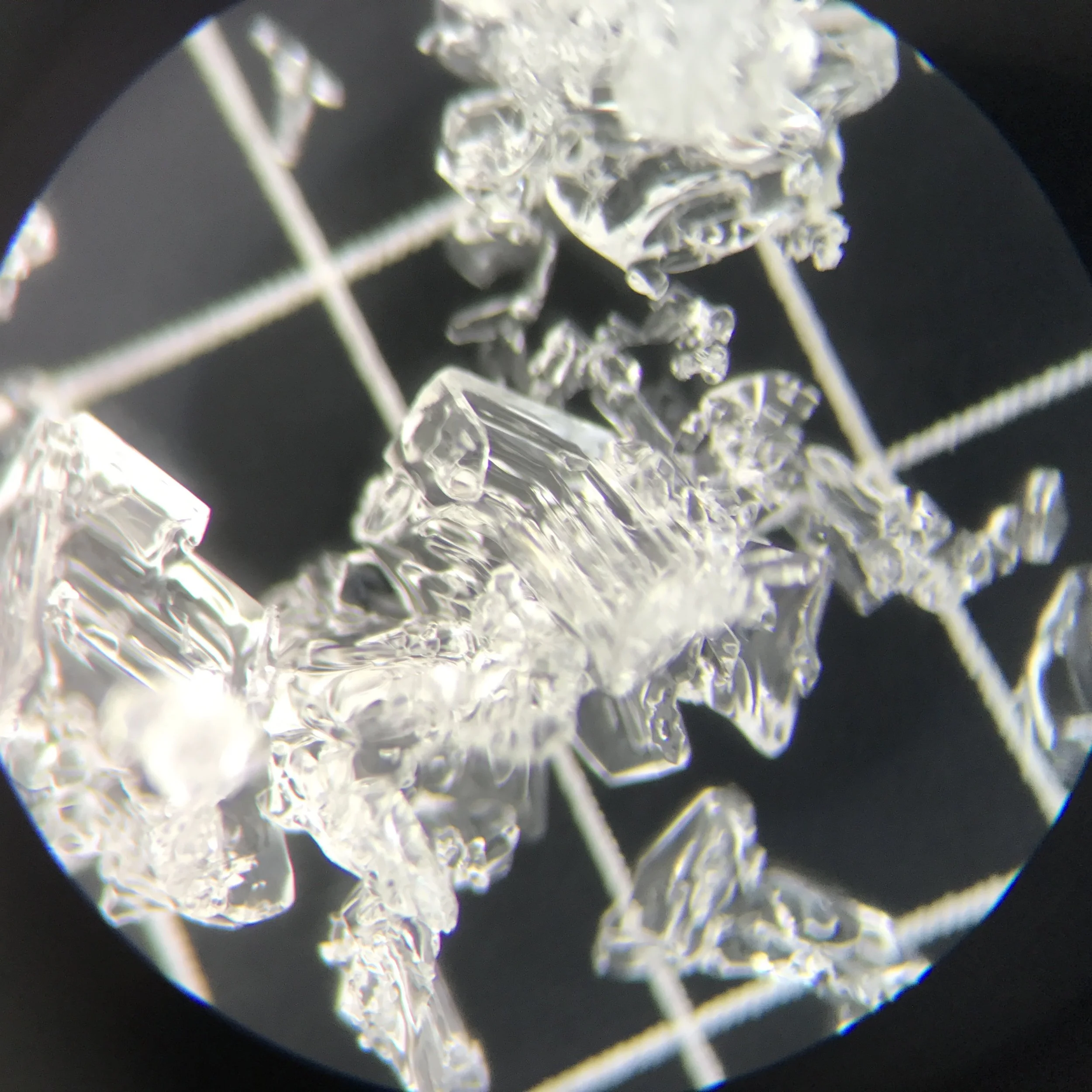
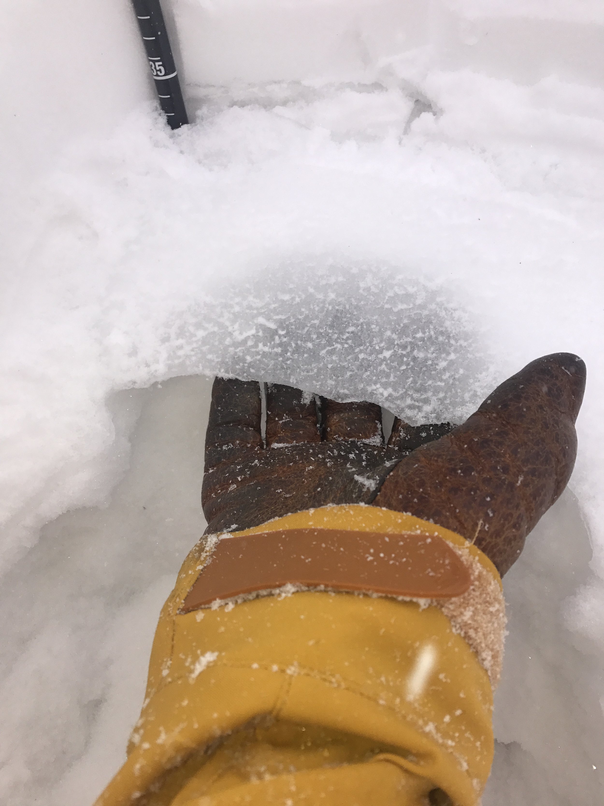
Remember those great early season snowfalls we had in September and early October? They've been hanging out and slowly turning into the weak snow we'll be talking about for the next few months.
Winter is HERE!
Winter is HERE! There have been a number of interesting observations mentioned by the CAIC in the statewide weather forecasts, including a skier triggered avalanche, and results from control work done by CDOT near Loveland. The regular zonal snowpack bulletins from CAIC haven't started yet, but the active community in our area have reported some very sketchy conditions in the Cameron Pass area.
Stubborn and Persistent
Early Christmas Presents
In the spirit of the season, today was a little cold, fairly tiring, and mostly gluttonous. Temps ranged in the mid 20's as we parked around dawn, heading up to take a look at the new storm snow.
The storm dropped around 8-10" at higher elevations, depending on how the wind moved things around. There were stretches of sheer joyous fluff with scattered moments of breakable crust that threw us off our guard. Luckily I'll just share the joyous moments :)
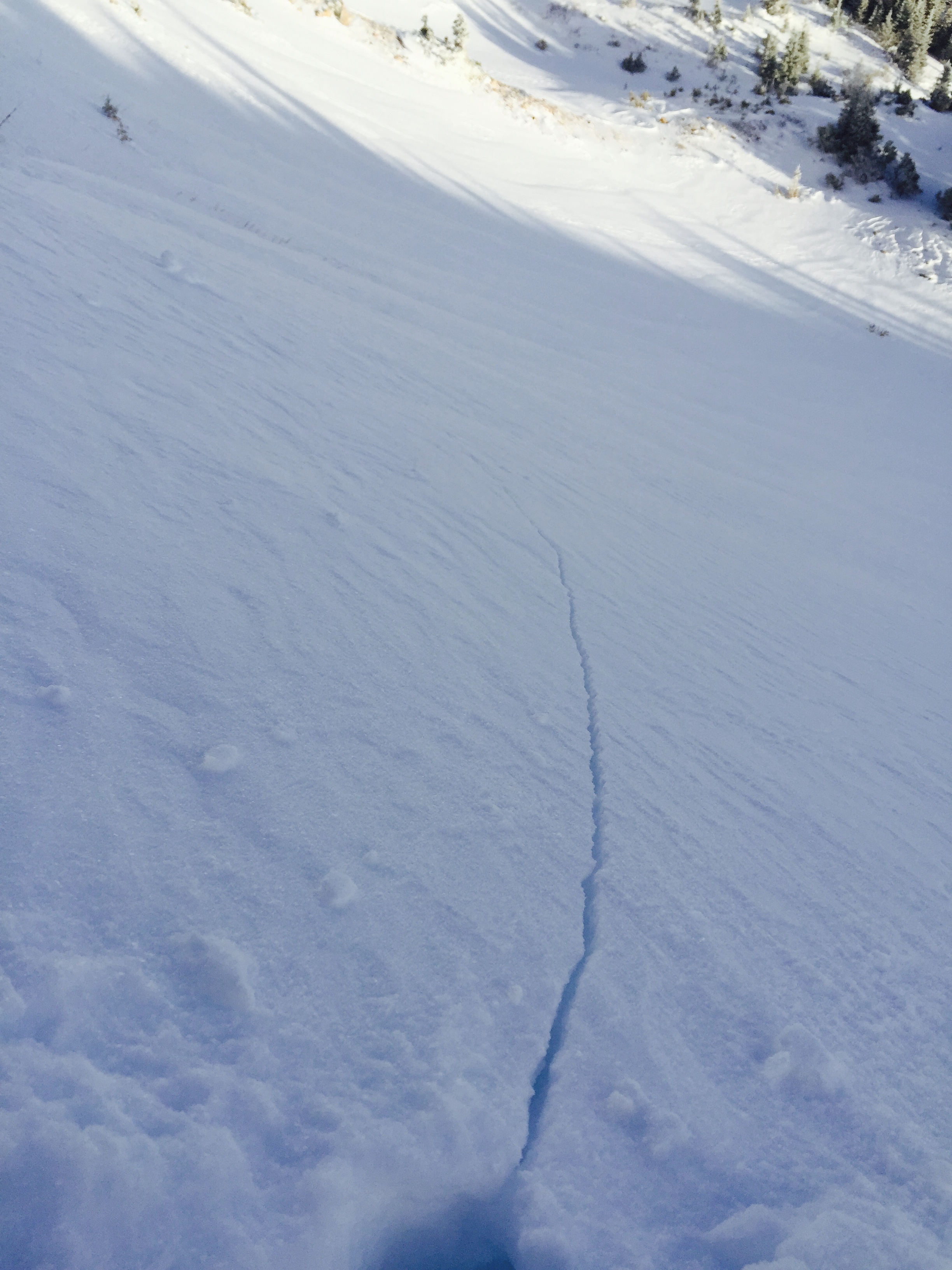
We were kept in check by a few signs of instability, the most significant being some cracking left after a big whumpf. This appeared to break down into the new storm snow, which was sitting on a old wind slab from last week (can you say bedlayer?).
So we stuck to lower angles and still found some great treats a few different elevations.
I'm a firm believer that you can find good skiing almost any day of the season - if you're looking to be able to do this yourself, join us for an AIARE Level 1 Avalanche Course to start building your avalanche skills toolbox.


